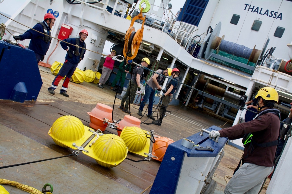
EMSO-DYFAMED Infrastructure description
- Date of Deployment: February 1988 (mooring) and 1999 (buoy)
- Location: Western Ligurian Sea
- Type: Mooring and buoy
- Distance from land: 50 km
- Maximal depth: 10 m to 2400 m
| |
Buoy, ODAS
| - Coordinates: 43.36 °N and 7.86 °E
- Short description:
| - Pyrocontrol (surface)
- Meteorological station (surface)
- CTD (surface)
- CTD (260m)
|
DYFAMED Mooring
| - Coordinates: 43.42 °N and 7.90 °E
- Short description: DYFAMED is an EMSO standalone deep sea mooring dedicated to physical forcing and carbon fluxes.
| - Temperature (150m)
- CTD, ADCP, Sediment trap (200m)
- CTDODO (350m)
- Temperature (500m)
- CTD (700m)
- Temperature (800m)
- CTD, ADCP, Sediment trap (1000m)
- Temperature (1200m)
- CTD (1500m)
- CTDODO (2000m)
- CTD (2300m)
|
Shipborne profiles and samplings
| - CTD, oxygen and fluorescence profiles
- Sea water sampling: nutrients, AT-CT, Oxygen, pigments
- Under water vision profiler (UVP5): particles and zooplankton profiles
- Zooplankton net (0-200m): Zooplankton sampling
|
Data policy and access
| - Near real time transmitted data:
- Periodically recovered data: Free access, previous year data treated by the quality assurance process, recovery on a yearly basis, download through DOI
|
Maintenance

| - Maintenance frequency: 12 months
- Duration of operations: x days
- Services available: Cruise preparation, lab compatibility tests, implementation on site, data transmission, archiving and dissemination
Read more about the cruises...(Coming soon) |
Contacts
- Primary contact: Laurent Coppola1
- Data management contact: Thierry Carval3
- Maintenance contact (Technical supervisor): Emilie Diamond Riquier, Guillaume de Liège2
|
1: CNRS-UPMC, France
2: CNRS-IMEV, France
3: Ifremer, France